
FROM THE FIELD: Mapping coral reefs from space
A plan to use satellite imaging to build up a global picture of coral reefs, to better understand how to protect them from warming seas brought on by climate change, is being supported by the UN Environment Programme (UNEP).
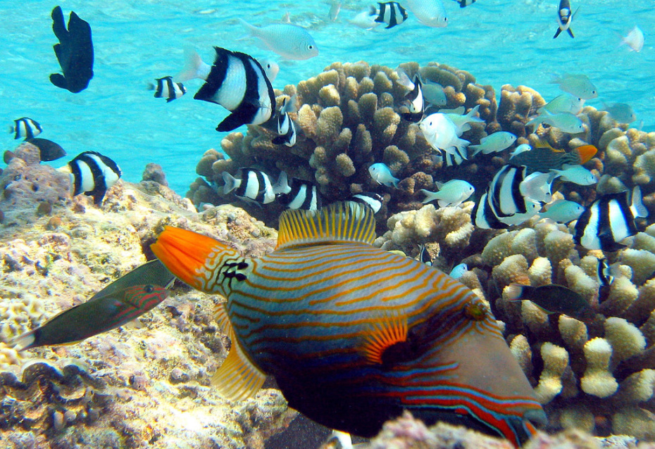
Coral reefs are crucial to the biodiversity of the ocean. They foster around a quarter of all marine species and provide food and livelihoods for at least a billion people around the world.
However, pollution, overfishing and ocean warming are putting their very existence at risk, and it is hoped that by comprehensively mapping the endangered organisms, future harm can be mitigated.
You can find out more about the project here.